
Cuba starts restoring power after another nationwide blackout
20 September 2026


A map vote making headlines on September 5 is about proportions, not moving borders.
By Steve Carsley 6 September 2026
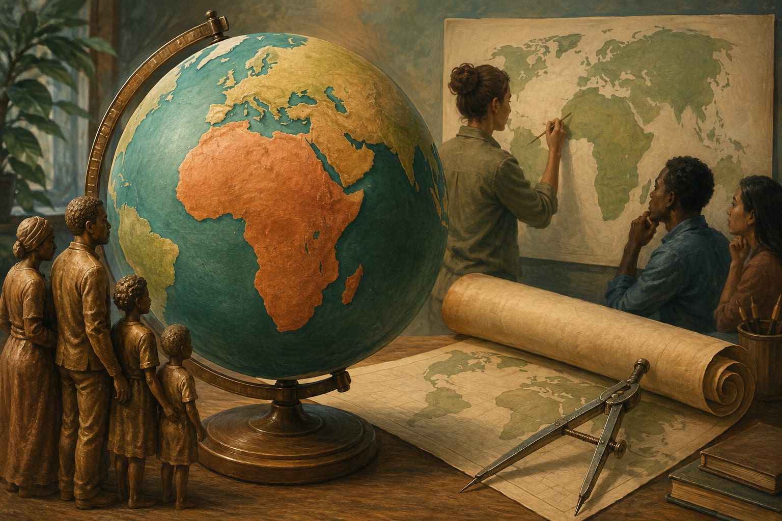
Africa has not expanded overnight. Your school wall map may simply have been giving other places a very generous size upgrade.
The UN General Assembly backed a resolution encouraging maps that represent the relative size of continents more accurately. The vote took place on Friday, September 4, and drew international coverage into September 5. AP reported that the measure encourages the Equal Earth projection without banning Mercator or imposing a replacement. AP's report.
According to UN News, Mercator's projection was designed for navigation. Its treatment of direction was useful to sailors, but land closer to the poles appears increasingly enlarged. That makes it a poor choice when the main question is how much area different places occupy. UN News explains the projection problem.
A flat map has to turn a curved surface into something that fits on a page or screen. Some feature will be distorted. The useful question is which feature matters for the job: area, shape, distance or direction.
So this is not a case of discovering a secret extra section of Africa. It is a case of choosing a picture that better answers the question being asked.
EFE reported that 164 countries supported the resolution, the United States voted against it, and six abstained. Togo led the initiative. The US objected to what it described as an ideological agenda, while supporters argued that familiar maps can influence how generations perceive different regions. EFE's account of the vote.
Those are political arguments around a real cartographic choice. A map can be technically useful for one purpose and still give a misleading impression when used for another.
The resolution is non-binding. UN News says it encourages governments, schools, international organisations and technology companies to consider equal-area maps when relative size matters. It also encourages teaching the limitations of flat maps.
That leaves room for different tools. A classroom comparison of continents and a navigation task need not use the same projection. Choosing between them should start with what the reader needs to understand.
The practical takeaway is refreshingly small: next time a map makes one place look enormous beside another, check the projection before drawing conclusions. The planet has stayed put. The way we picture it is what is being debated.
Similar stories
20 September 2026
19 September 2026
18 September 2026