South Africa reports fewer rhino poaching deaths, but 230 were still lost
23 September 2026


The storm weakened from Category 5, but heavy rain, flooding and rough seas remained serious threats.
By Steve Carsley 24 September 2026
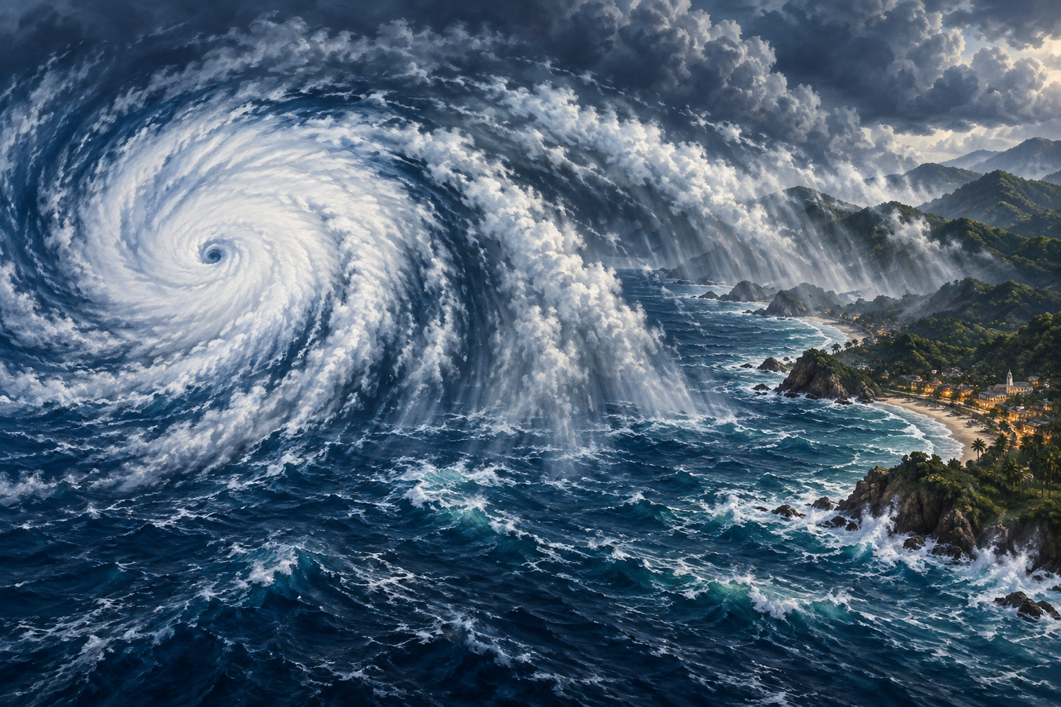
A hurricane does not have to cross a beach for people on land to face danger. Mexico's Pacific coast was dealing with that reality on September 23 as rainbands from Hurricane Polo began reaching shore.
The storm's centre remained offshore, while forecasters warned about heavy rain and possible flooding and mudslides. The key distinction is easy to miss when watching a weather map: the centre is only one part of a much larger system.
NOAA's record of National Hurricane Center updates shows how Polo changed during the day. At 06:00 UTC, it was a Category 5 hurricane with maximum sustained winds of about 165mph. By the 18:00 UTC update, the reported winds were about 145mph, and the storm was moving northwest.
That weakening still left an extremely powerful storm. A lower wind number does not mean the rain has stopped, the sea has settled or communities are out of danger.
Reuters reported that Mexican authorities were coordinating preparations along the Pacific coast. The security ministry described command posts in Michoacan, Colima, Jalisco and Guerrero, along with work on inspections, temporary shelters and preventive evacuations if needed.
Those are preparedness measures, not evidence that every place will experience the same conditions. Rainfall, terrain and the storm's evolving path all affect the danger in a particular community.
The National Hurricane Center bulletins archived by GDACS warned that rainfall could cause life-threatening flooding and mudslides, especially in steep terrain. They also described dangerous surf and rip currents along affected stretches of coast. These hazards can extend well beyond the area of the strongest winds.
Polo had intensified exceptionally quickly. Writing on September 23, Local 10 hurricane specialist Michael Lowry said it had gone from a tropical depression to Category 5 strength in about 42 hours.
Lowry reported that its winds peaked at 180mph on September 22 and that hurricane-hunter aircraft measured a central pressure of 892 millibars. He placed that pressure behind only Hurricane Patricia among recorded eastern Pacific hurricanes. The measurements describe an extraordinary storm, even though it later weakened.
For people scrolling through striking satellite images, the neat spiral can make the whole thing look distant and almost still. Conditions on the coast tell a different story: rain can arrive while the centre is still out at sea, and rough water does not stop at a line on a map.
The September 23 updates therefore carried two facts together. Polo had lost some strength, and it continued to threaten coastal communities. Both can be true at the same time.
Similar stories